About Us
About Us
Since its establishment in 2015, Cizoti Nigeria Ltd has become a leading GIS and IT company in Nigeria, providing top-notch geospatial services and products to clients across various sectors through the use of advanced geospatial technologies. Our unique value proposition lies in our ability to create interactive geospatial dashboards and develop custom, user-friendly and scalable web/mobile applications for location-based services such as health information systems, flood prediction, precision agriculture, etc.
In addition to delivering exceptional service and support, we also offer training on GIS applications to our clients and provide consulting services to many government organizations in Nigeria, including the World Bank. As a proud member of the United Nations Global Geospatial Information Management Private Sector Network, we are committed to providing high-quality geospatial services and innovative solutions to clients around the world through our work.
What We Do
GIS & Remote Sensing Consultancy
We provide a range of consultancy services in GIS and RS across various sectors and help our clients to:
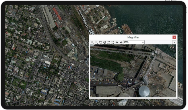
Collect, Analyze, and Visualize Spatial Data
Develop APIs to Automate Data Processing and Validation
Formulate and Implement Projects
Develop Visualization Dashboards
Procure Geospatial Data, GIS Software, and Hardware
-
Create and Manage Spatial Databases
-
Perform Web Mapping and Geoprocessing Tasks
-
Conduct Urban and Regional Planning
-
Develop Flood Models
-
Carry out Drone Mapping and Image Processing
Undertake Feasibility and Viability Studies
-
Conduct Environmental Impact Assessments
-
Monitor and Evaluate Projects
-
Write and Review Technical Reports
Create and Manage Spatial Databases
Perform Web Mapping and Geoprocessing Tasks
Conduct Urban and Regional Planning
Develop Flood Models
Carry out Drone Mapping and Image Processing
Undertake Feasibility and Viability Studies
Conduct Environmental Impact Assessments
Monitor and Evaluate Projects
Write and Review Technical Reports
Product Development
We develop custom web and mobile applications that provide location-based services and enable clients to access, visualize, and analyze geospatial data on-the-go. These user-friendly applications are designed to meet the specific needs of clients, providing powerful geospatial capabilities in a convenient and accessible format. Some applications we have developed include:
Flood Prediction App
Health Facility Information System for Emergency Response
Geo-visualization Portal for Flood Monitoring
eLearning Portal
USSD App for Disaster Response
Object Tracking & Tracing
Real-Time Car Tracking with GPS/GPRS Devices
Individual Safety Tracking and Distress Alert Services
Location, Direction and Street Guide Services
Capacity Building in Geoinformatics
Enterprise GIS & Web Map Programming
Drone Building, Mapping and Image Processing
Web/mobile Apps Development
Flood Modelling Techniques
Database Management
Data Analytics
Spatial Database Development and Management
Remote Sensing Applications: Image Correction, Enhancement and Visualization
Data Acquisition Techniques with GPS
Spatial Data Processing, Analysis and Visualization with GIS Tools
Geospatial Intelligence (GeoINT)
Equipment Sales & Hiring Service
Training Equipment such as Laptops, GIS/RS software, Projectors
Printers, Plotters and Scanners
Data Collection Equipment such as Drones, GPS Devices, Workstations, Mobile Devices configured for Field Survey and On-Site Data Collection