
Delivering Intelligent Systems for Evidence-Driven Impact
We help governments and institutions automate workflows, integrate data, and drive scalable development across Africa.
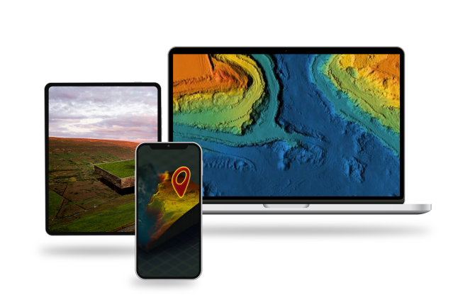
Intelligent Digital Solutions
We help institutions transition from fragmented, paper-based workflows to integrated, intelligent digital systems. Whether automating service delivery, digitizing monitoring systems, or building real-time dashboards, our solutions are tailored for resilience, speed, and impact.

Real-Time, Actionable Data
Access centralized platforms and tools that provide quality, real-time data without the delays of traditional fieldwork. Our systems make evidence available when it matters most, enabling smarter governance, resource allocation, and performance tracking.
Scalable Support, Built for Africa
Our solutions are designed to meet your timelines and budgets without compromising performance. Our team blends local expertise with agile tech delivery to offer responsive support, continuous system optimization, and future-proof infrastructure tailored to African institutions.
Our Clients & Partners

Learn more about what we do
Sign up for our newsletters