
OUR PROJECTS
Building Success Through Innovative Projects!
Management Information System (MIS)
Development of the 3-in-1 Management Information System (MIS) for trainee veridiction and training tracking, vendor procurement, and project management of the World Bank- assisted IDEAS project (2024 - 2025)
Capacity Building & Educational Impact
Training of 400 Nigerian youths in digital skills tools and technologies under the World Bank-assisted IDEAS Project (2023 - 2024)
Documentary
Production of the first-ever documentary of Nigeria's space sector in honor of its trailblazers (2023)
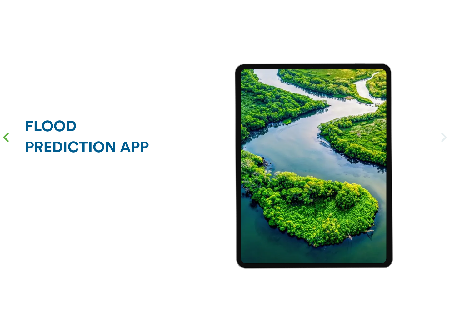
Flood Prediction App
Development of web/mobile and USSD applications for location-based flood prediction for Nigeria (2022)
Automated Demarcation Tool
Development of automation tools for enumeration area (EA) demarcation and auto numbering of building footprints within EAs (2021)
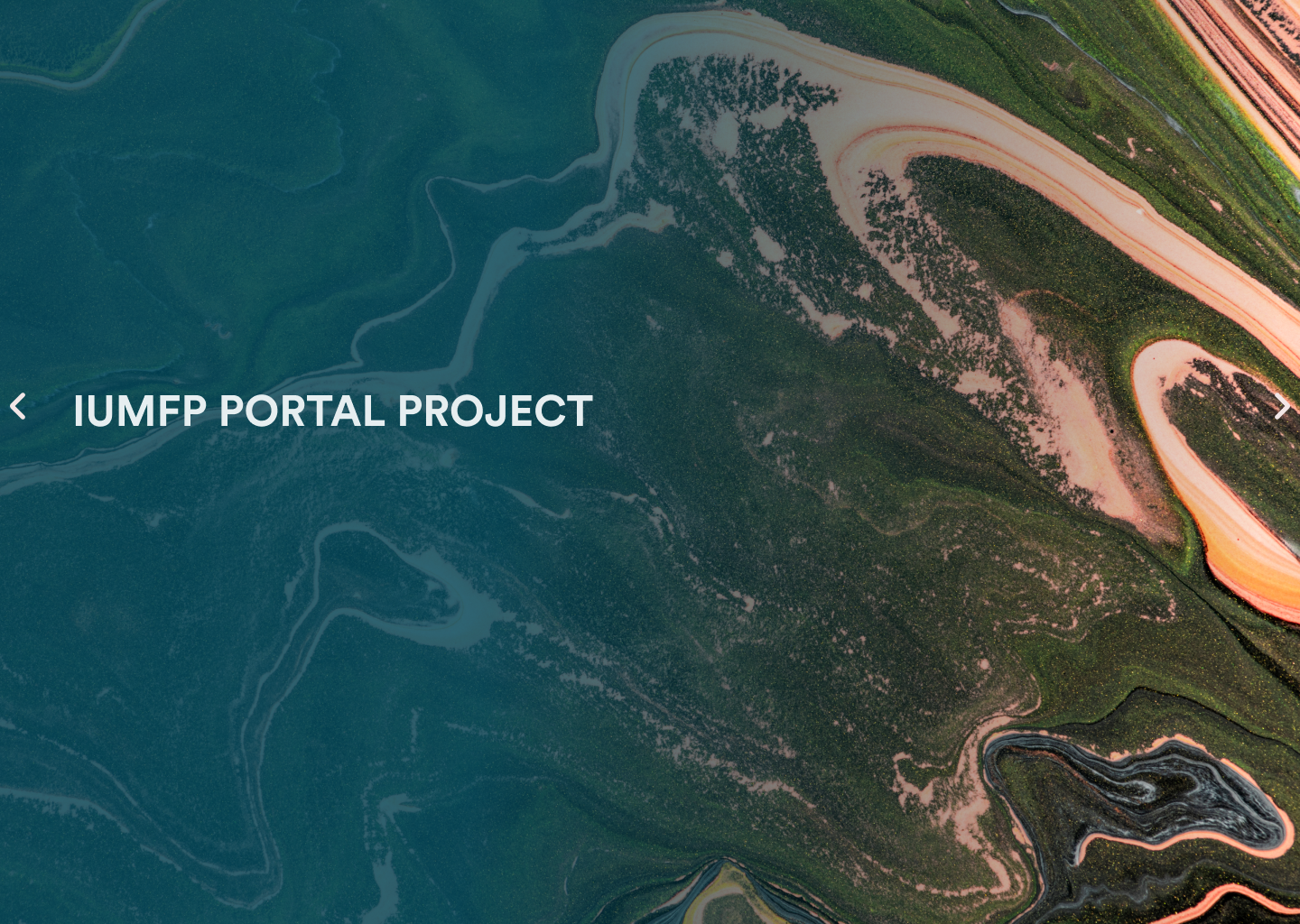
IUFMP Portal
Development of the World Bank IUFMP Geo-visualization Portal for the Ibadan City and Drainage master plans (2020)